


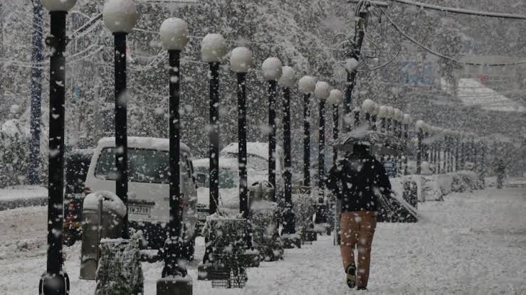
Srinagar: Jammu and Kashmir is set to witness moderate snowfall in the first week of January, with two consecutive Western Disturbances (WDs) expected to affect the region from January 3 to 6, according to the Meteorological Department.
As reported by the Kashmir News Observer (KNO), these WDs will follow last Friday’s moderate to heavy snowfall, which disrupted daily life, leading to the closure of major roads and the suspension of flight operations for two days.
Dr. Mukhtar Ahmad, Director of the Meteorological Department, stated that two WDs would impact J&K and nearby areas beginning January 1.
On January 1 and 2, a weak WD is likely to bring cloudy weather and light snowfall at scattered locations between the evening of January 1 and the morning of January 2. From January 3 to 6, a more significant WD is predicted to cause light to moderate rainfall in Jammu’s plains and snowfall across various parts of J&K, with the heaviest activity expected on January 4 and 5.
The Meteorological Department has also issued a cold wave advisory for isolated areas, cautioning tourists, travelers, and transporters to follow traffic and administrative guidelines due to icy road conditions and possible heavy snowfall in higher elevations on January 4 and 5.
Despite recent snowfall, temperatures in Srinagar and Kupwara remain above seasonal averages. Srinagar recorded a minimum temperature of -0.9°C, while Kupwara recorded 0.1°C. In contrast, Gulmarg registered a frigid -10.0°C, Pahalgam -9.2°C, Qazigund -2.8°C, and Kokernag -2.1°C.
—(KNO)


